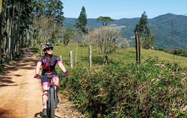
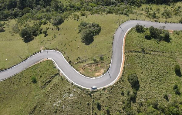
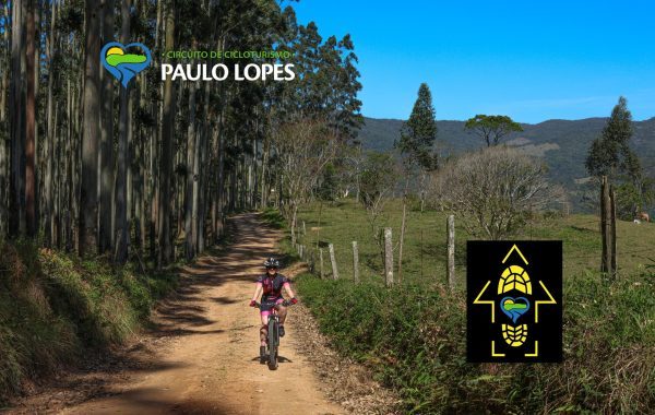
O Paulo Lopes Cycling Circuit It's one of those rides that surprises any cyclist. On a route of 67.58 km, The route reveals the municipality in a unique way: in direct contact with nature, passing through preserved areas, rural communities, cinematic landscapes, and historical sites that showcase the region's authenticity.
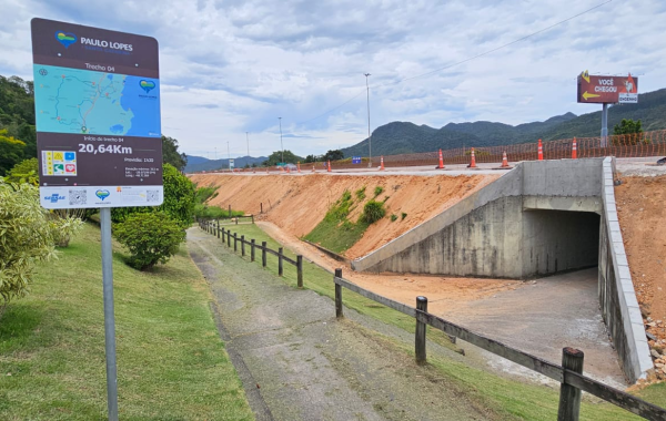
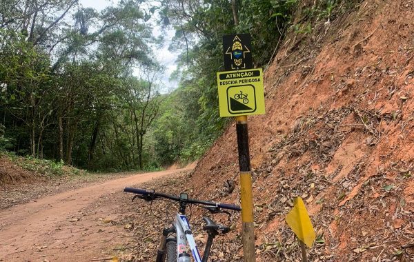
Fully signposted, the route mixes Dirt roads, paved stretches, and climbs make the challenge worth the view.. It's a perfect experience for both beginners in bicycle touring and those already seeking more challenging routes — always with visual rewards every kilometer.
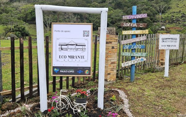
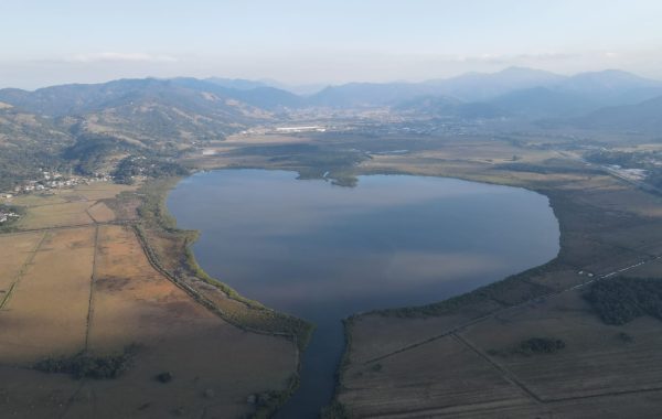
Divided into five sections, The circuit takes cyclists from urban to rural areas, passing through family farms, chapels, artisanal productions, and attractions that have become iconic along the route, such as... Dom Bueno Distillery, The Bugio Brewery, The Enchanted Waterfall, the Agudo Hill and the charming Heart Lagoon. Along the way, cafes, markets, restaurants, and accommodations serve as support points, ensuring a more relaxed and welcoming ride.
To make the experience even more complete, the signs along the route feature QR codes that allow you to register your journey and issue a certificate. Certificate of Completion — a special memento from those who lived this adventure on two wheels.
With stunning landscapes, local culture, and a carefully planned route, the Paulo Lopes Cycling Circuit It's a perfect invitation for those who want to explore the region by bike and discover new experiences.